Trail Runners Chapter 5: Underhill State Park
I met Steve, Jay and Matt at Underhill State Park
on Thursday evening after spending the day at Grand Isle State Park
(I know, I lead a difficult life). Mt
Mansfield is the first immovable mass blocking your path as you approach from
the west, its size and impressiveness grows as you drive through the wide
Champlain Valley on the approach.
We had the perfect day for this trail run, eighty degrees,
sunny and dry. I arrived a little early and spent some time talking with Jacob,
the Underhill State Park Ranger. He
advised me that typical speedy trail runners can run the loop we planned in
about 4 hours and the distance was longer than we read on the map. We were talking while he dragged away some
large beech limbs he had just trimmed using a method I will not divulge here.
Our planned route was the CCC Road to Maple Ridge Trail, across on the Long Trail and then descending Sunset Ridge Trail. The potentially disappointing news about the inaccuracy of our map was tempered by Jacob booking us into newly painted Ash lean-to for the night. If you are unfamiliar with Underhill State Park, Ash is the second nicest lean-to in this beautiful campground with walk-to only sites.
Popping out of dense forest and standing on the same rocks, which I watched grow larger as I drove toward Underhill earlier that day, was a magical moment. It’s such an abrupt experience moving from a forested habitat directly into an alpine zone. We timed things right, the extremely rare Mountain sandwort flowers were blooming everywhere across the entire ridge. These little white flowers bloom only a short period of time in July, and I have never witnessed this before. They are really striking, patches of white emerging from green pincushions of moss and plants clinging to life on the exposed mountaintop rock.
If you have never enjoyed the view from the chin on Mt
Mansfield, you should stop what you are doing and head directly to Underhill
State Park. We stood on top of Vermont,
looking out at Lake Champlain and the Adirondacks to the west and beautiful
green Vermont in every other direction.
Standing on the chin, we could clearly see the profile of Mt Mansfield
and all its facial features in the shadow in the valley below us. On this clear evening we looked to the south
and north along the entire ridge of the Green Mountains. I felt connected to
every peak in Vermont at that moment.
Our planned route was the CCC Road to Maple Ridge Trail, across on the Long Trail and then descending Sunset Ridge Trail. The potentially disappointing news about the inaccuracy of our map was tempered by Jacob booking us into newly painted Ash lean-to for the night. If you are unfamiliar with Underhill State Park, Ash is the second nicest lean-to in this beautiful campground with walk-to only sites.
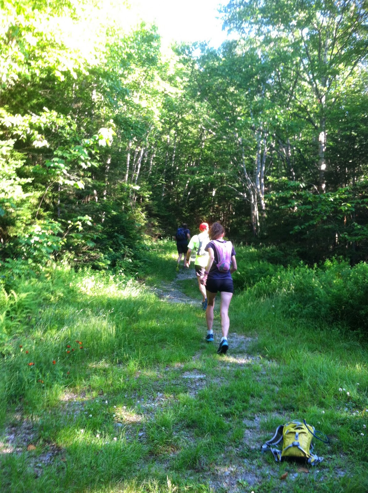
We set out around 6pm from the parking area in front of the
park office. The CCC Road is a nice
moderate climb and then slight descent to the Maple Ridge trailhead. Once again I am amazed at the work of the CCC
boys and their ability to create long lasting infrastructure. The road is in
nice shape, it becomes more of a tote road as you get higher on the mountain,
but it still has even footing.
Maple Ridge is a beautiful trail. From our approach on the CCC Road, you do not
need to climb very far up the Maple Ridge Trail before you are on the open ridge
with schist under your feet and incredible views all around you. It’s a good thing the exposed rock under your
feet is so stable, it’s easy to get distracted by the view and not pay any attention
to what your feet are doing.
Popping out of dense forest and standing on the same rocks, which I watched grow larger as I drove toward Underhill earlier that day, was a magical moment. It’s such an abrupt experience moving from a forested habitat directly into an alpine zone. We timed things right, the extremely rare Mountain sandwort flowers were blooming everywhere across the entire ridge. These little white flowers bloom only a short period of time in July, and I have never witnessed this before. They are really striking, patches of white emerging from green pincushions of moss and plants clinging to life on the exposed mountaintop rock.
Maple Ridge concludes at the Forehead, where we stopped and
enjoyed some snacks before running the entire ridge along the Long Trail to the
chin. This stretch is also full of
distracting views and schist under-foot, and includes a little bit of work road
which is a kind of a bummer when you run through thick forest and up over rocks
for a couple hours to get there. Still,
all the views afforded on this stretch are well worth the effort and make me
willing to overlook the work road experience.
The giant red sun was beginning to sink low on the horizon
and an enormous moon (just a couple days before the full super moon) was rising
golden in the sky. This was the perfect
combination for a stunning sunset, with a few clouds above the
Adirondacks. We had some more food,
changed into dry long sleeve shirts and then started our descent on the Sunset Ridge
trail.
That big red sun continued to slide down the sky, and we
stopped to watch it drop behind the Adirondacks while standing on the aptly
named Sunset Ridge. I cannot remember
the last time I watched the sun sink down below the horizon like that. If you
have not enjoyed that moment recently, I highly recommend taking the time to
slow down and witness the end of a day.
Sunset Ridge is as rock exposed as Maple Ridge, with
incredible views. Shortly after we entered the woods after the exposed section,
we turned on our headlamps to help us see the footing. There are lots of stone steps and stepping
rocks on this stretch of trail. Quickly
after turning on our lights, we reached the trail head at the CCC Road where we
made a quick descent to the campground and Ash lean-to. We enjoyed some hotdogs and sausages grilled
by Jay and washed down with PBR and Wolaver’s
Brown Ale.
Steve and I were the lucky two who enjoyed a peaceful
night’s sleep in our comfortable lean-to and woke to sunshine and Robin songs
Friday morning early. This whole running adventure took 3 hours and 24 minutes
and logged 8.16 miles on Steve’s Garmin watch and 8.4 miles using Jay’s iPhone
app. So the total mileage is still
undecided, but there is no debate about the incredible experience it was to run
to the top of Vermont with good friends.
View Underhill Trail Run Page
View Underhill Trail Run Page


.jpg)
.jpg)
Comments
Post a Comment
Feel free to let us know what you think.